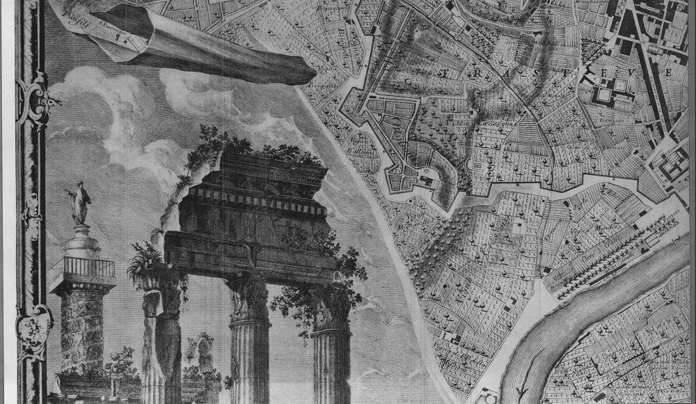
For day three of architecture week 2012, I’ll explore Giambattista Nolli map of Rome, created in 1748.
I know nothing of cartography, of mapping, or of Giambattista Nolli for that matter. I know nothing of his life, but, this is what I do know: Nolli didn’t just make a map of Rome, he charted and recorded and encapsulated the fabric of a city. He chose to illustrate the positive and negative spaces of the city; the solid and open; the structure and the public spaces. He did this in stark black and white. It’s a very powerful way to analyze the form of a city. It’s called a figure-ground plan and I could look at this for days…
Please enjoy, The Map of Rome drawn by Giambattista Nolli, 1748:
.
.
.
Images of the Nolli plan were from a digital archive from the UC Berkeley Library Archives – HERE
An interactive map of Nolli’s plan is available from the University of Oregon department of Architecture – HERE


